


Te Araroa - Two Thumb Track
Have you ever fully appreciated the wonder of electricity? I mean the capacity to just flick a switch and BAM there was light, who are you God? Or have you ever fully appreciated the wonder of food that hasn’t had the life sucked out of it? Taking a chomp out of freshly picked iceberg lettuce, that crisp crunch sound it makes as lettuce juice squirts hard down your throat!
I’ve been off Te Araroa trail for about a month now… I think… it’s hard to tell… I don’t have a job so days and weeks blur into mush. Either way I’m now back in civilization eating like an absolute king, enjoying all the spoils modern western society has to offer; Burgerfuel, corner dairies, electric heaters… other things… mostly Burgerfuel tbh (they aren’t paying us I just rate their shit).
Now that I no longer possess the urge to wake up early and walk for 10 hours every day I’ve had time to reflect on my time tramping up the guts of Te Waipounamu (New Zealand's South Island). Upon reflection I have decided that if you ever feel the urge to tramp Te Araroa, DON’T. What I mean by this is don’t do it how I did it; trying to walk it all in one go, break it down into smaller sections and do them whenever you feel like it. It’s far easier that way and you likely won’t have to carry 25kgs worth of gear on your back.
So with that in mind, over the next few weeks I’ll be posting about some of my favourite South Island sections of Te Araroa. Feel free to completely ignore my advice and do what you want but I’VE walked them and YOU haven’t so maybe take my word for it.

- Two Thumb Track (Lake Tekapo - Rangitata Gorge) -

Loaded with historical significance the Two Thumb Track is waaaay out backcountry.
With 4 DOC huts along the trail you can break this section down into 5 easy days but for you mad dogs out there; it can also be done in 3.


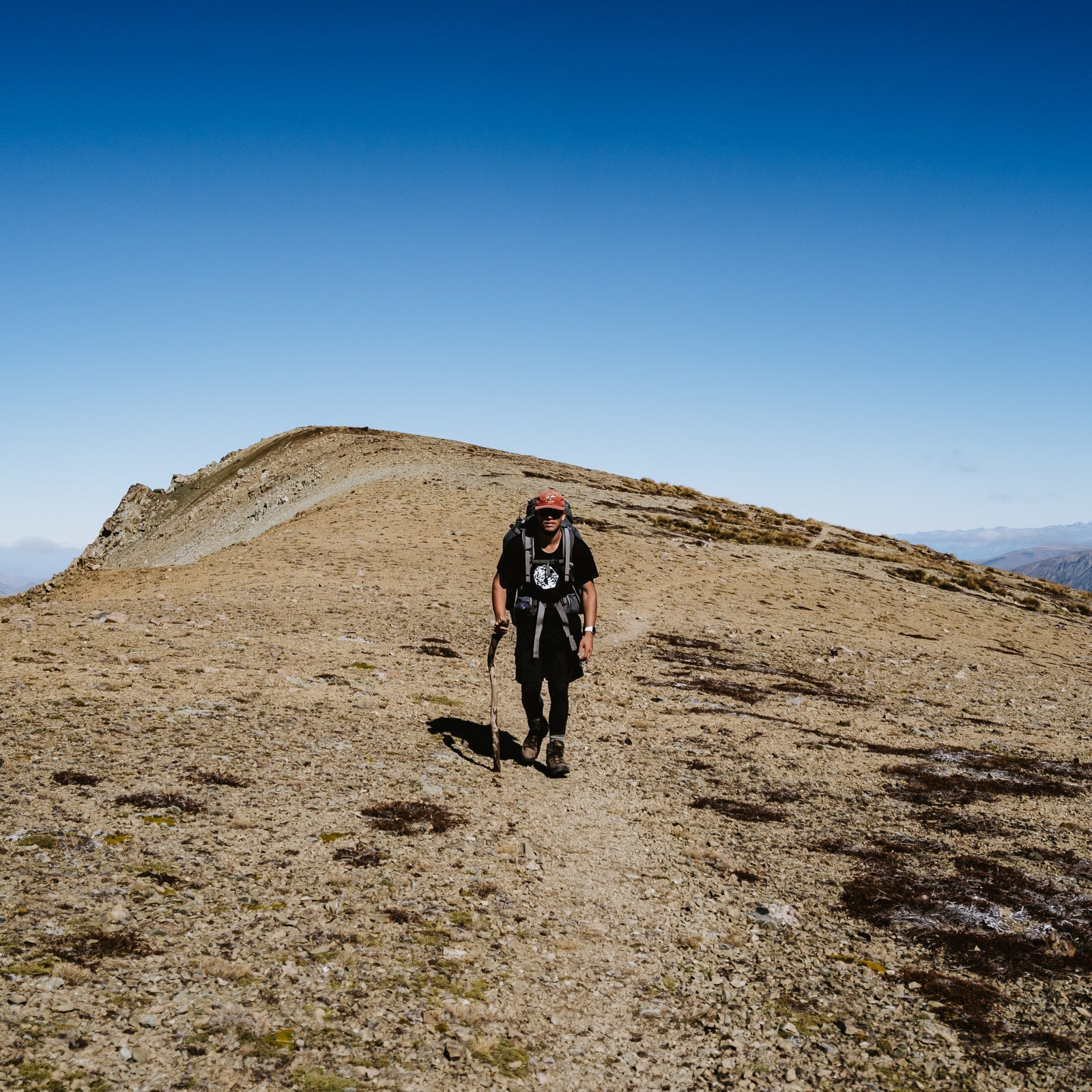
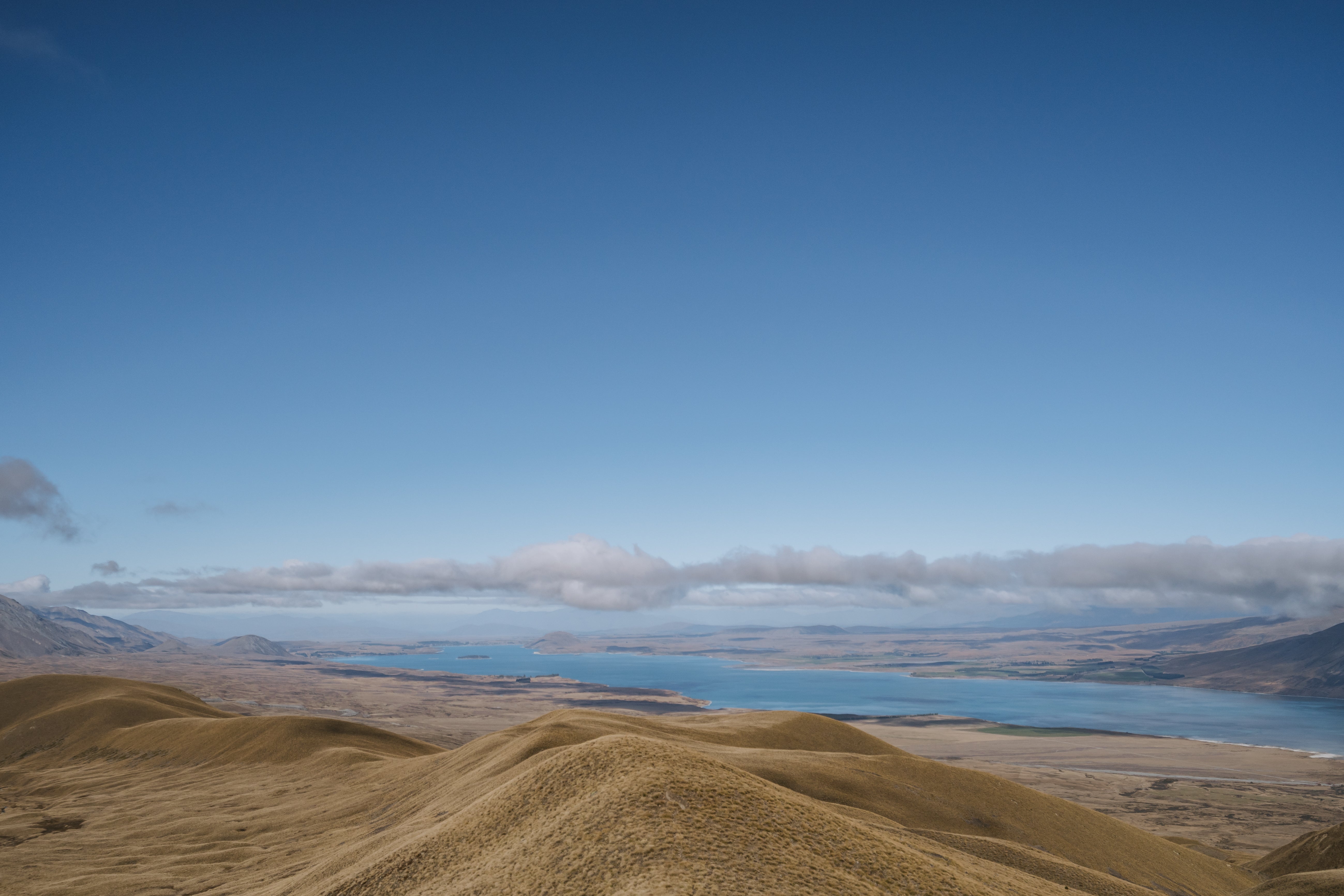
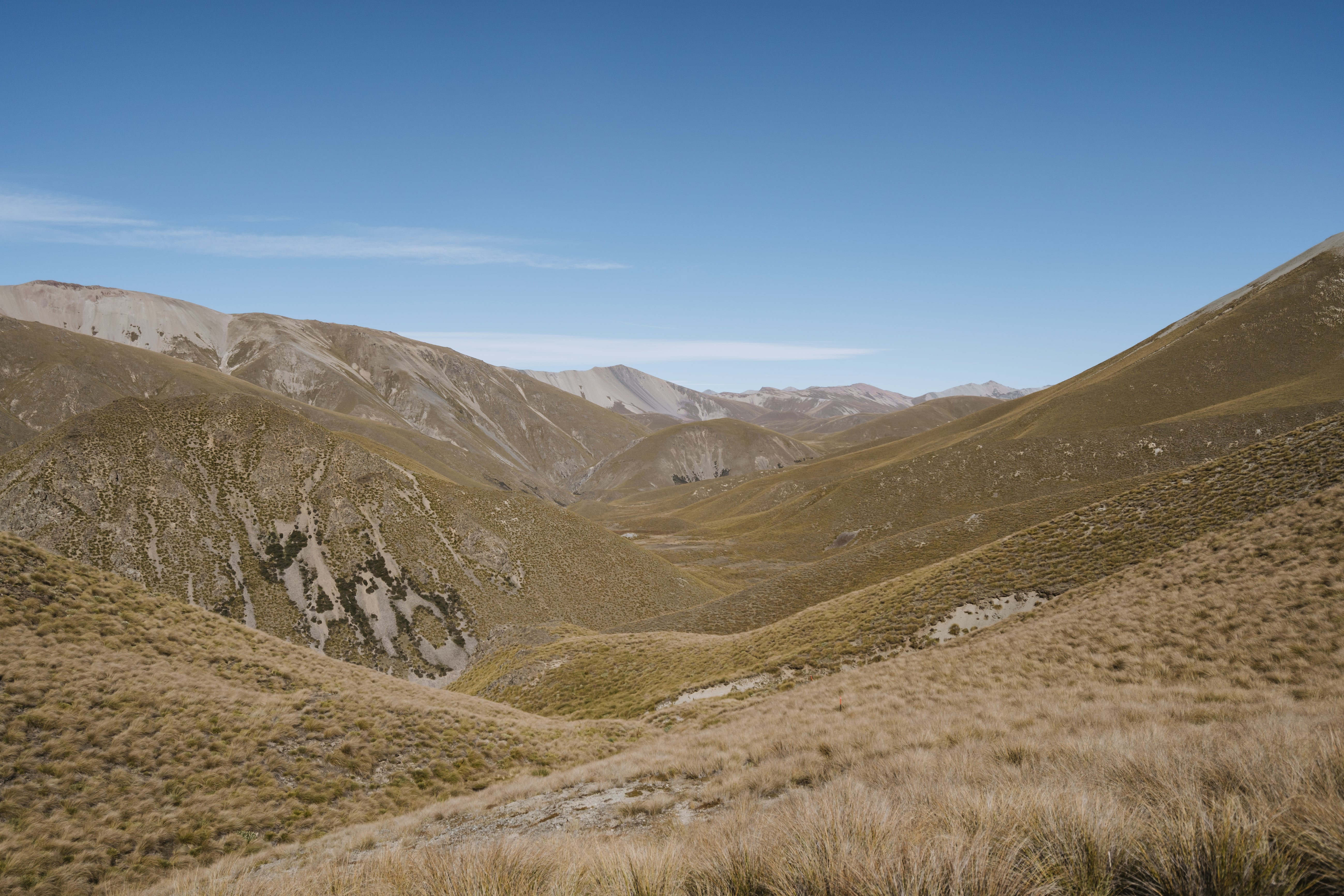
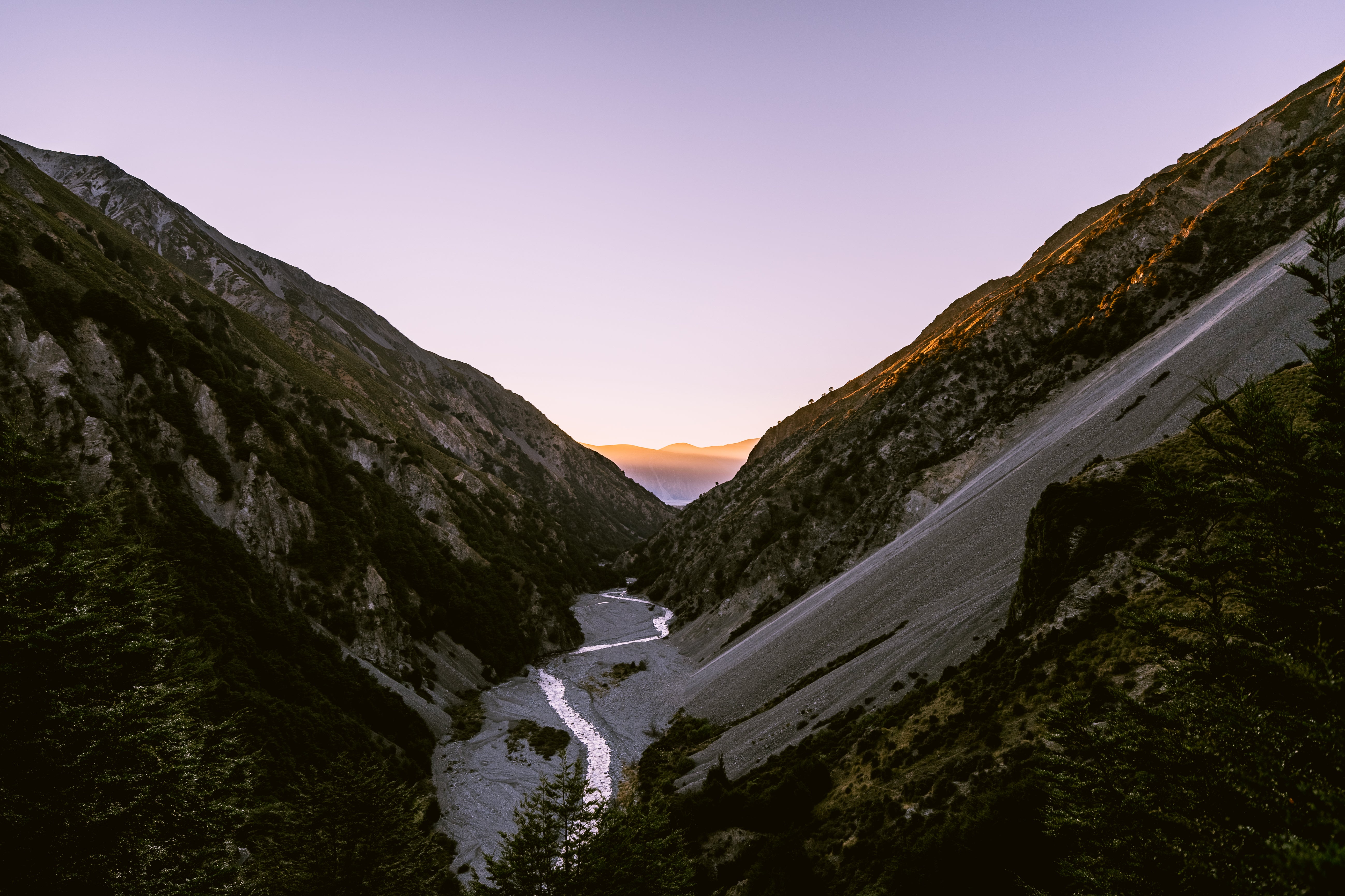
Starting in the tussock lands bordering Lake Tekapo there is some majestic wide open space to really soak up your surroundings, dramatic snow capped peaks to your right and the bright blue Tekapo to your left. As you make your way into the mountains you’ll get a bit of everything that the Cantrbury highlands has to offer, vast tussock lands, braided rivers, beech forest, dramatic river gorges and the highest peak on Te Araroa; Stag Saddle/Beuzenberg Peak.

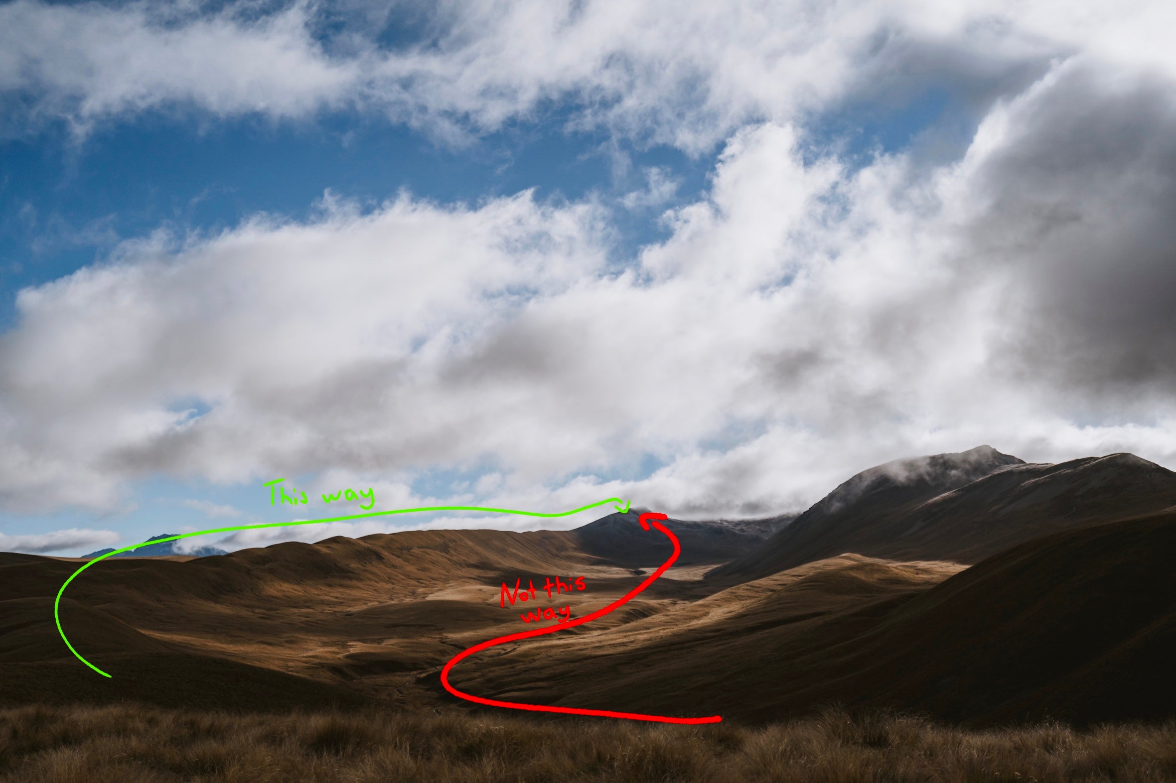
It’s easy to get a bit confused at the confluence to Macauley River and Camp Stream so make sure you pay attention, and don’t be a hero; if the river is too high go home.

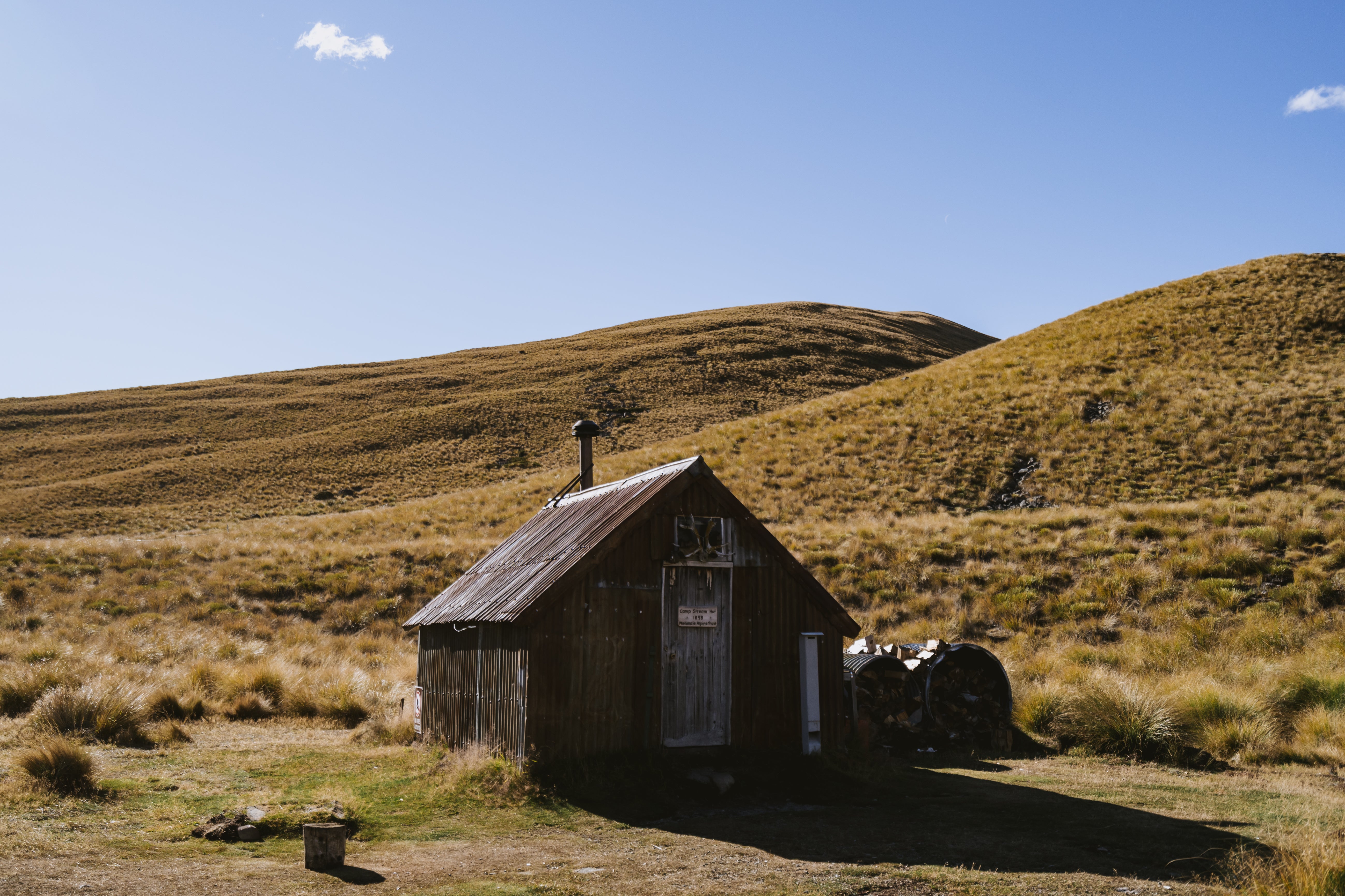
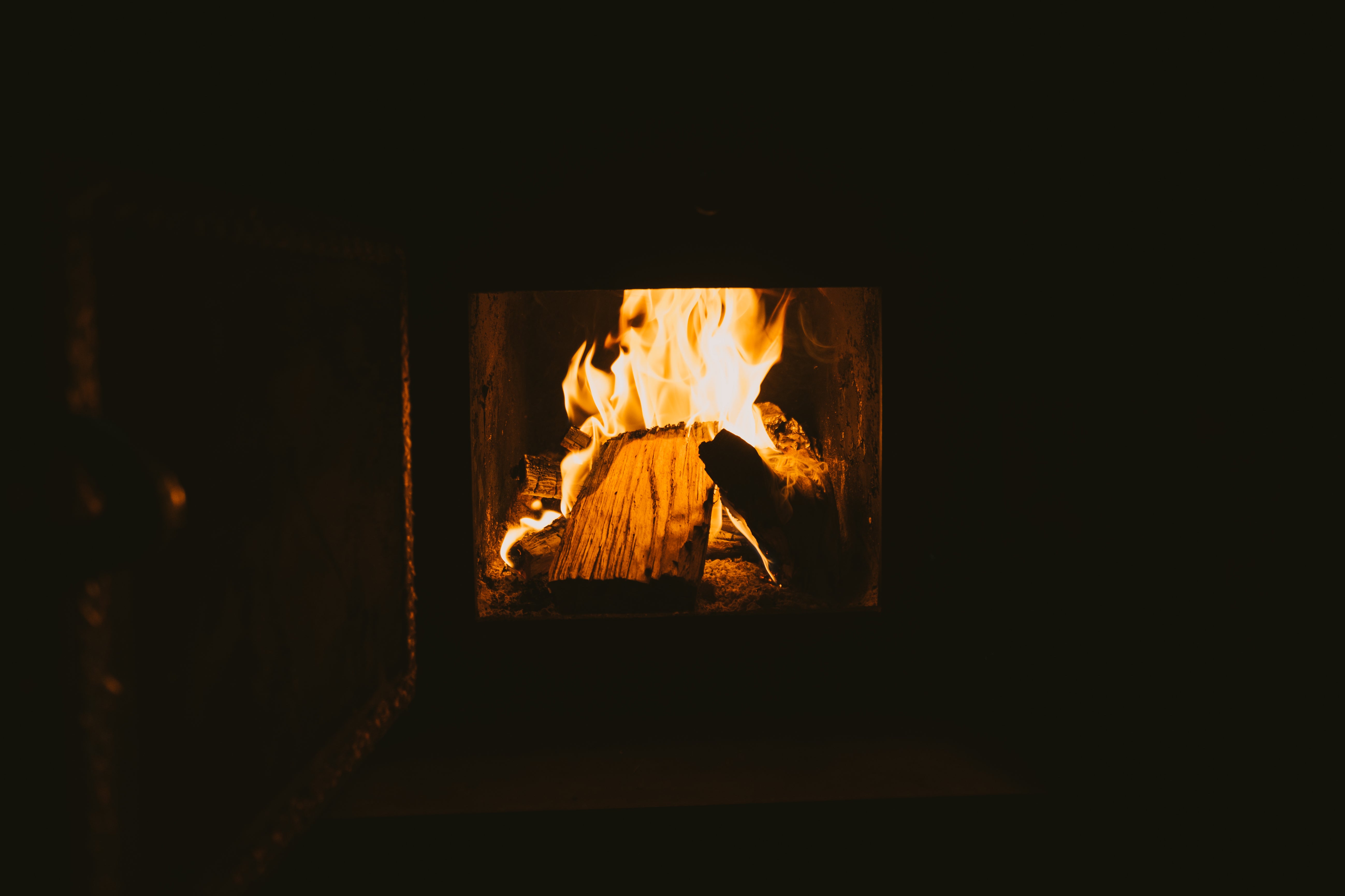
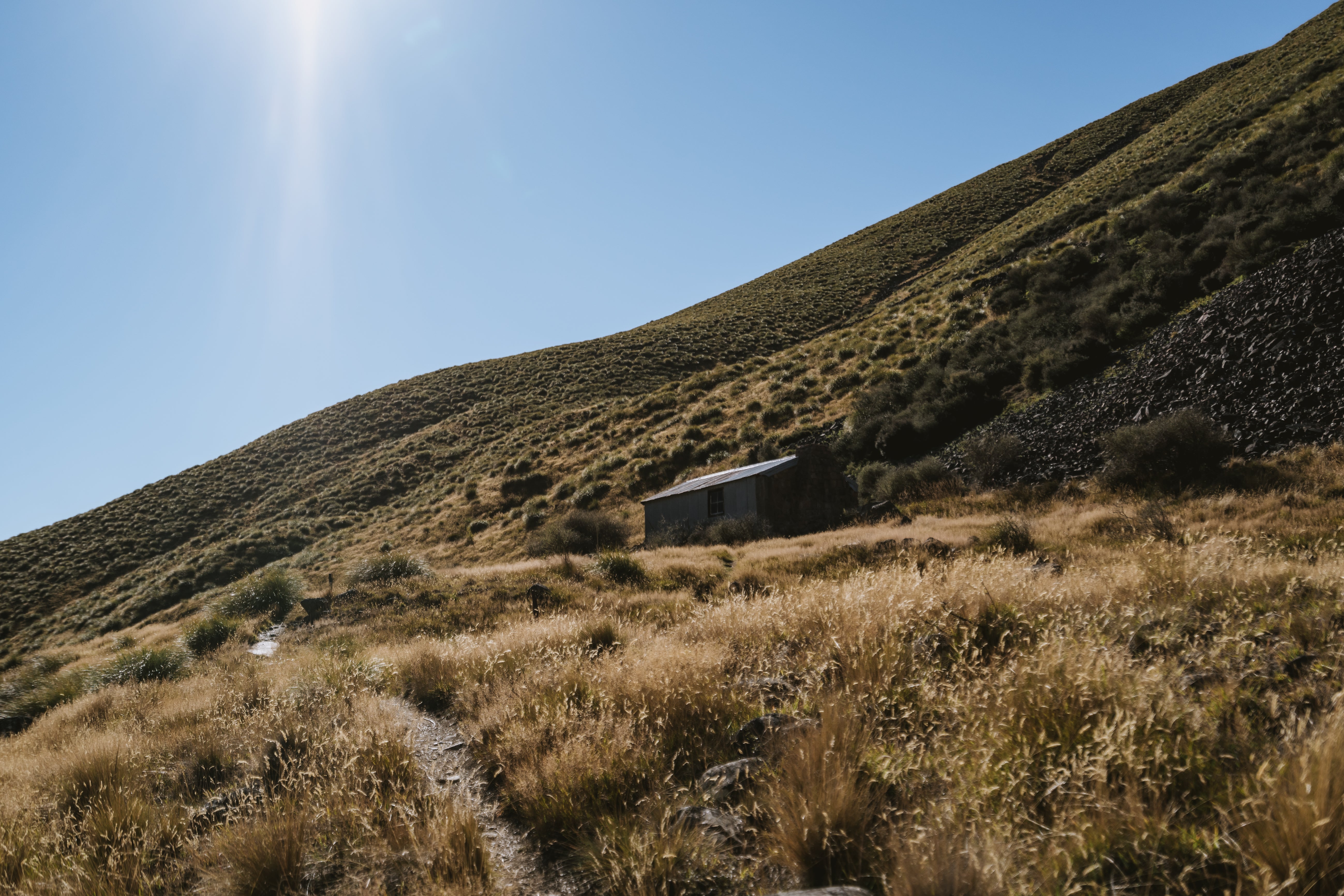
Spend your first night in Camp Stream hut, a relic from 1898 still standing due to dedicated maintenance, this tiny tin hut has a fireplace that will have you sweating in your sleeping bags.


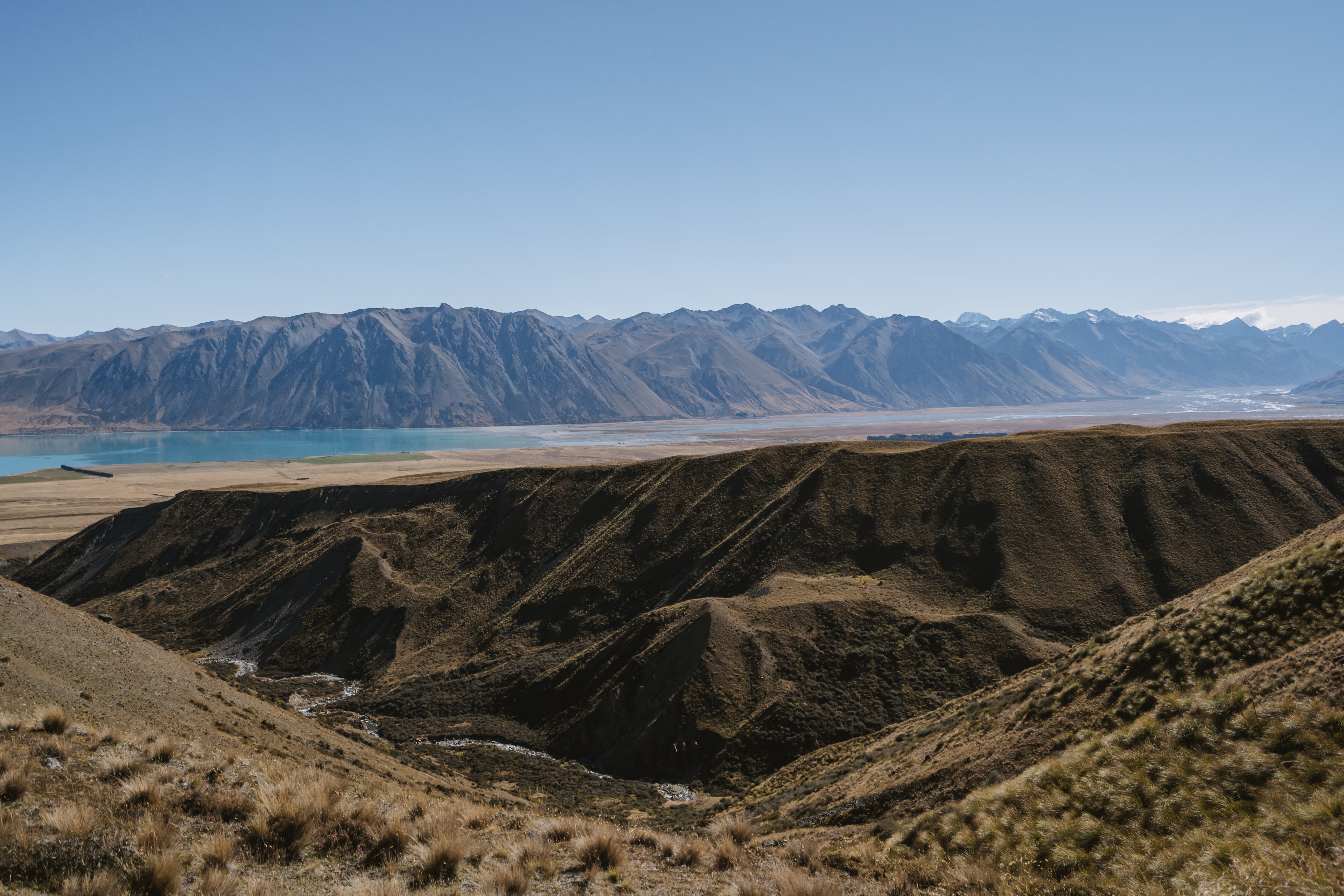
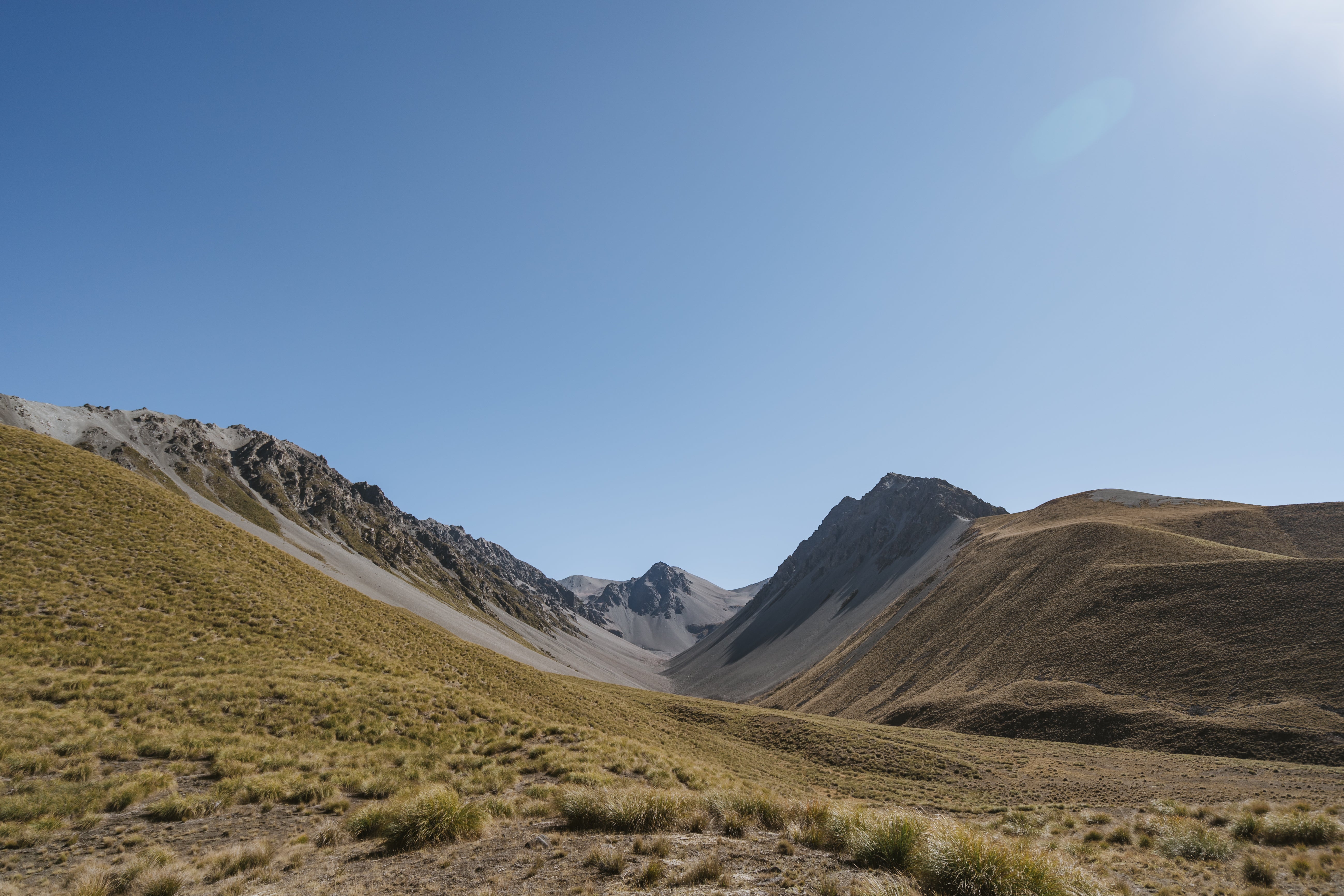
From Camp Stream hut you climb up to Stag Saddle, despite being the highest point on the trail it’s actually the easiest climb IF you go the right way; I would highly recommend taking the ridge line above the marked track, it’s a bit niggly to find but once you do it’s easy to follow and provides incredible panoramic views of Lake Tekapo.


There is a short walk to the top of Beuzenberg Peak, named after Erica Beuzenberg who was the first woman to summit Mt Cook. The detour is well worth the climb (ditch your bags at the base cause you go back down the same way).


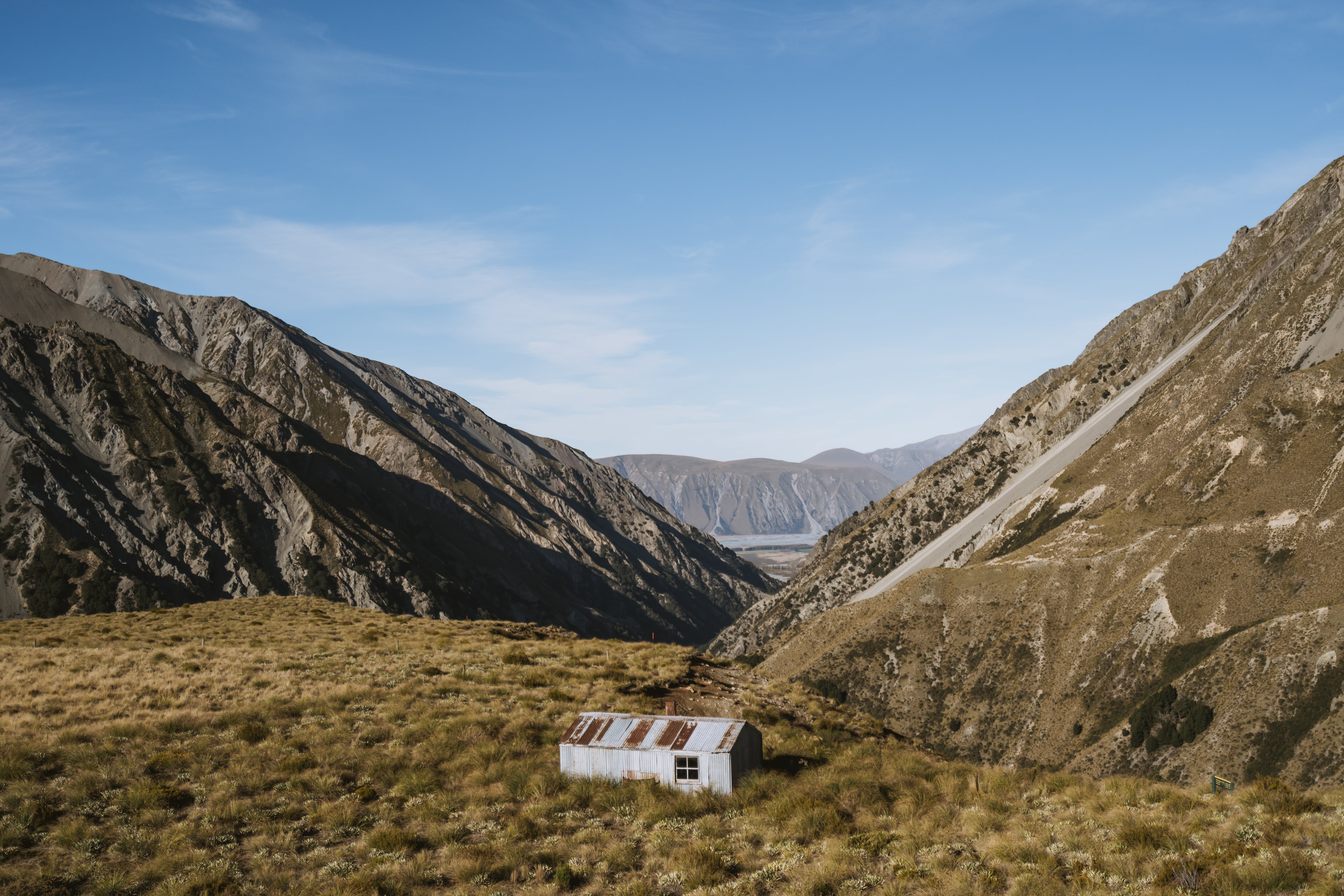
Skip your way down from Stag Saddle to Royal hut; named after Prince Charles and Princess Anne who flew in via helicopter for a spot of afternoon tea. There's nothing particularly “royal” about it really, it’s an old tin hut with a fireplace but nothing around to burn so be prepared for a potentially cold night.


The next day follows Bush Stream through a scenic river gorge, after a few hours you’ll eventually arrive at Stone Hut which is virtually identical to Royal Hut except with a large stone fireplace. I was lucky enough to spot a Tahr on this section so keep your eyes and ears peeled.


At this point you may also notice that the track is directly under one of Jetstars domestic flight paths. Which is a great reminder of just how slow your chosen form of transport is. What a nice morale boost!

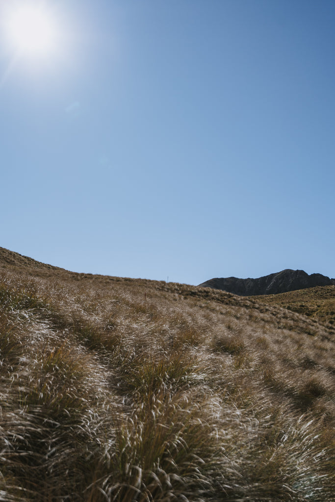
Cross Bush Stream into the next section which heads through rolling alpine tussock, it’s incredibly easy to get lost here as your surroundings all look the same and the DOC markers are spaced pretty far apart. I wandered up multiple different foothills thinking I was following the trail only to spot the DOC marker one foothill over. Probably added an extra hour to the proceedings. So take your time at each marker to try spot the next one.
Also don’t get confused by these plants:
 From a distance they look the same as the DOC markers. I couldn't tell you how many times I walked towards these, only to have my stomach drop when I realised I'd gone and done it again. But I'm also an idiot with bad eyes, so maybe you're better than me...
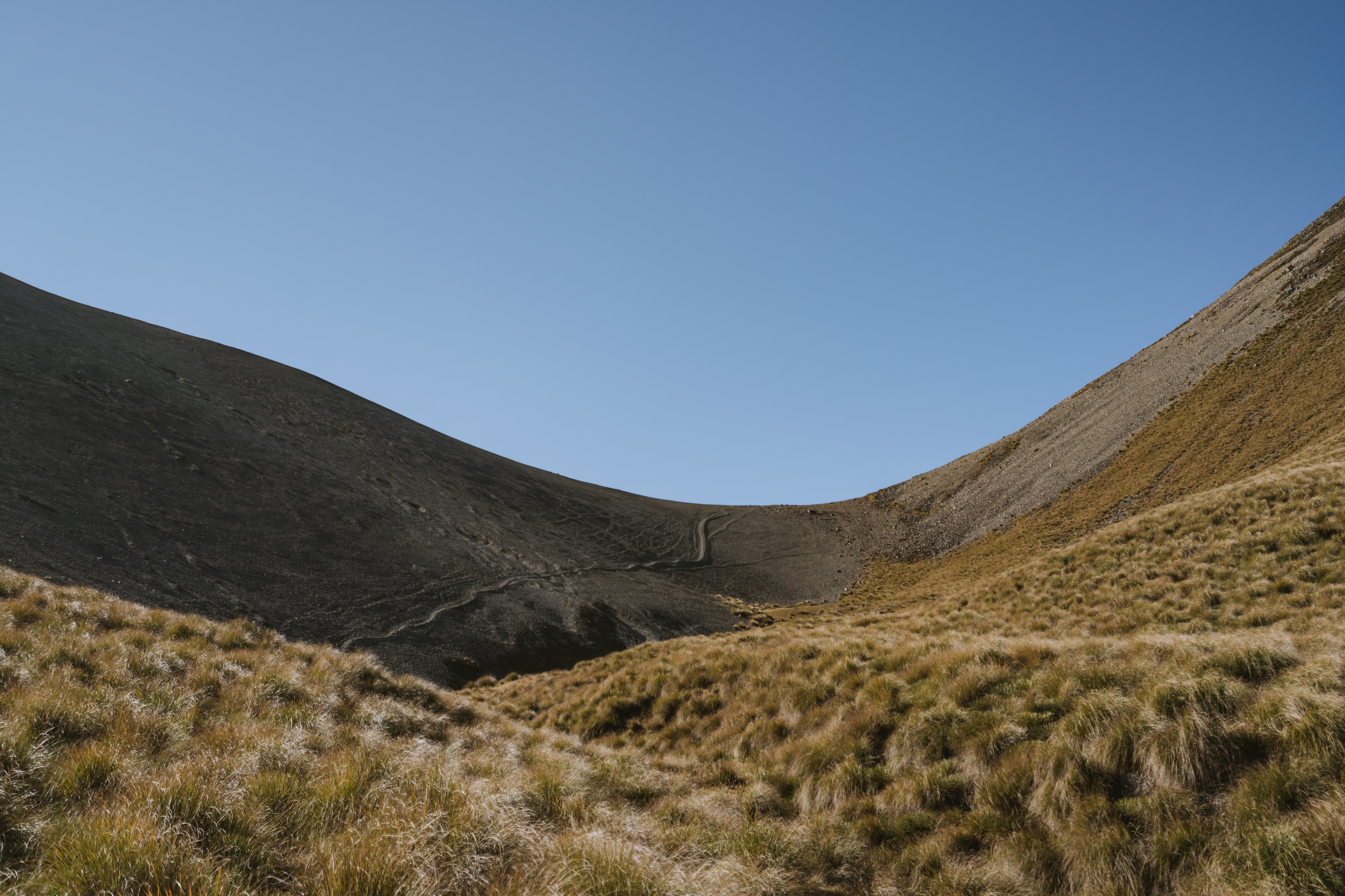

Eventually you climb over some scree and the vast Rangitata Valley comes into view. Wandering down you find Crooked Spur hut with a spectacular view down Bush Stream gorge to the Rangitata Valley.
Remember that one friend from primary school whose bedroom was covered in those glow in the dark star stickers, so every time you had a sleep over at their place it was like staring at the night sky? Well you get this effect at Crooked Spur Hut, except the star stickers are holes in the tin roof, and instead of all your primary school friends sleeping over it's an infestation of mice. I would highly recommend skipping this hut if you can, but it’ll do if you need somewhere to bunker down.
Wander down into the beech forest and follow Bush Stream to the trailhead, and viola! That's the Two Thumbs Track.
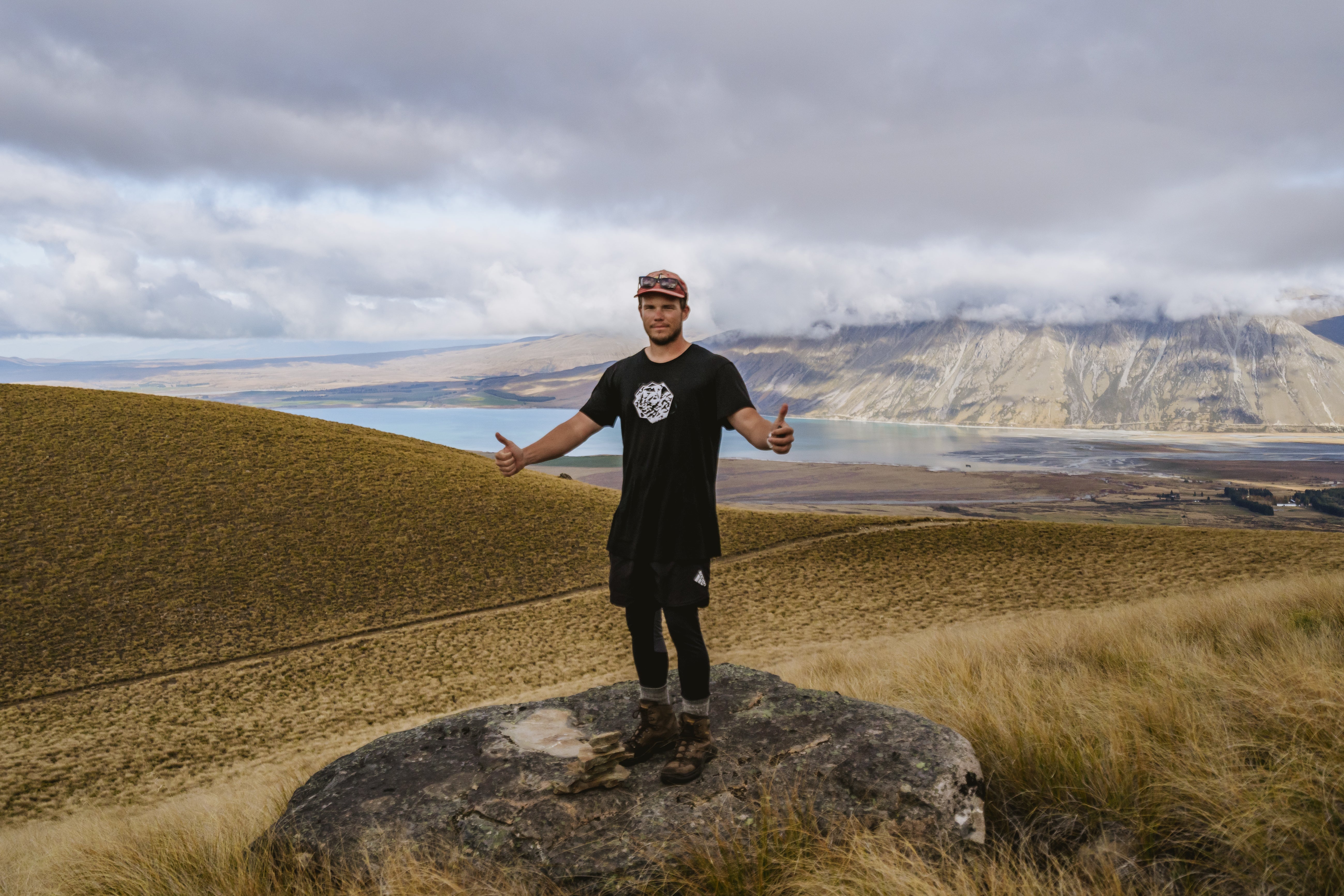
This Idiot gives the Two Thumb Tracks, two thumbs up! (Don't look too closely at this picture, I missed focus so I the whole picture is slightly blurry. But I'd like to see you try and take photos of yourself! It's really awkward and hard to tell if you got it on those tiny screens)
The Rangitata Gorge is filled with locations from Lord of the Rings, so if you’re a fan take the time to venture round and take in the sights. With LOTR in mind lets segue to our next section; the Mavora Walkway! Stay tuned.


Leave a comment